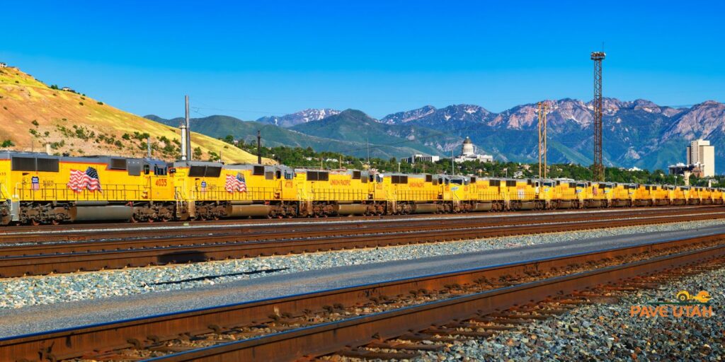
As our state began growing, roads and rails were built alongside each other. First were the walking trails, then the Pony Express and various stagecoach pathways, then came county roads and railroads. One of the first major roads built in Utah was a toll road built by Parley Pratt through what is now Parleys Canyon. Then Utah Central was built in 1869 between Salt Lake City and Ogden through the towns of Roy, Clearfield, Layton, Kaysville, Farmington, and Bountiful. In 1909, the Utah State Road Commission was created in response to the “good roads” movement. The Good Road Bills would fund the new agency and establish a process for building and maintaining roads throughout the state. Road maps were being created since 1910, but the first road map for public distribution was released in August 1926. By the 1920s, the railroad network throughout our state was basically finalized, and few changes were made afterward. The network of roads and rails grew rapidly with public funds for expansion and improvement. Paving started in the 1920s.
The Federal Aid Highway Act of 1925 brought a standardized numbering system for roads with several designated routes in Utah. These routes included U.S. Route 6, 40, 50, 89, 91, and 189. U.S. Route 189 paralleled several railroad routes. When putting railways in context with surrounding roads, the growth and development we see today makes a lot of sense. As roads started crossing railway tracks, accidents became common between automobiles and locomotives. Between 1920 and 1945, the Utah Department of Highways received aid from the government for the separation of roadways and railways. As a result, we begin to see the construction of tunnels, such as the Castle Gate Tunnel constructed in 1931, and overpasses, such as the Emory US 30S completed in 1953, and viaducts, such as Ogden’s 24th Street viaduct.
December of 1849 marked the “Golden Pass'' toll road in what was then called Big Kanyon Creek Kanyon (now Parleys Canyon). This was the first road in Utah intended for public use. In 1951, a steel overpass was constructed at Emory to take US 30S over the Union Pacific Tracks and a “dangerous six-mile stretch” was straightened on US 30 between Echo and Emory. In 1952, Salt Lake City saw a new road connecting Foothill Blvd. and Sunnyside Ave. with 13th East at 5th South. An $800,000 project was funded in 1953 for an eight-mile stretch between Emory and Castle Rock. In 1962, the former Bamberger Bridge over U.S. 89 by Cherry Hill was demolished to widen the 89. New bridges were built over the 89 in 1964 in Davis County. An early Victory Road (by the state capitol building) in the early 1920s was reimagined with the new Victory Road, constructed from 1933-1936 as a safer option, then the Beck Street intersection was added in 1946.
Rails and roadways in Utah have an interesting history all on their own. Data for this blog was taken from utahrails.net. For more information about the history of railways and roads in Utah, including photos, visit their website for details.